View 85 Photos
Mighty Tapuae-o-Uenuku
A shoulder season epic, returning via Tongue Spur
Hike
Download GPX
Tapuae-o-Uenuku, nicknamed Tappy, is the tallest mountain off the southern divide in New Zealand.
Phil has been up a fair few times so I was lucky enough to draw on his experience for this mission.
After much rescheduling Phil and I had decent weather window in our sights.
The stats paint only part of the picture, they don’t capture the difficultly of the terrain, the rotten rock, the shoulder season mix of ice, snow and heat.
This was a rewarding, challenging trip that tested endurance, route finding and mental fortitude.
Hike
Download GPX
Day 1: Hodder bridge to Hodder Huts
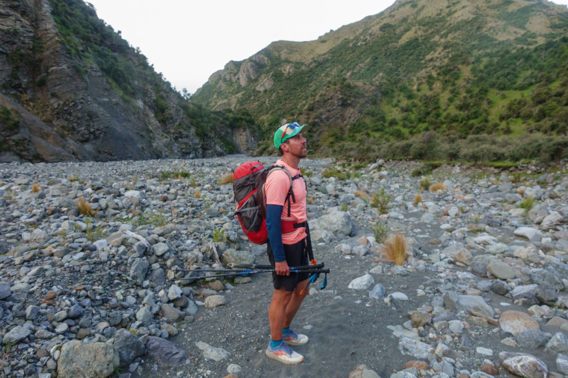
The first thing to know about the approach is that you need to cross the Hodder 100 times, the crossings aren't too tricky but as you gain altitude the water and your toes get colder.
Parking up at Hodder bridge we dropped down to the river bed and started rock hopping. A walking stick or two is essential in ensuring you stay stable crossing the river.

The weather was due to clear the next day but as we made our way up the river the rain, sleet and then snow really came down. Alongside some booming thunder. Boy did we hope that forecast was correct.

The track itself is largely unmarked except for the odd cairn or two when things get spicy, it really helps to try and minimise the number of crossing you do.
Local fauna was on display with plenty of goats high on the cliffs, deer and in one case a pig that had fallen off a cliff. Luckily at this time of year sandflies were not an issue.

There's a big blue arrow which points the way up the side of a steep scrambly cliff, this is the first decent taste of elevation gain.

At the top the flora starts to change into more tussock and the temperature starts dropping, with the cold wind ripping down the valley.


As we looked back Phil pointed out a ridge called Tongue Spur, a route he'd taken a few years back. This would turn out to be our descent route.

We marched our way up the final slope to the hut, which was empty and tucked into some dinner. All up it took us nearly 6 hours from the carpark.


With the wind still thrashing the hut we went to sleep.
Hike
Download GPX
Hiking on November 22, 2024
With a civilised 5am wake followed by some big breakfasts, we packed up and said farewell to the Hodder Huts getting away at 6.

Traversing the screen slope we made our way down to tackle the only major crossing before the summit. At this point it was well worth removing shoes, wet feet and cramponing are never a great combination!

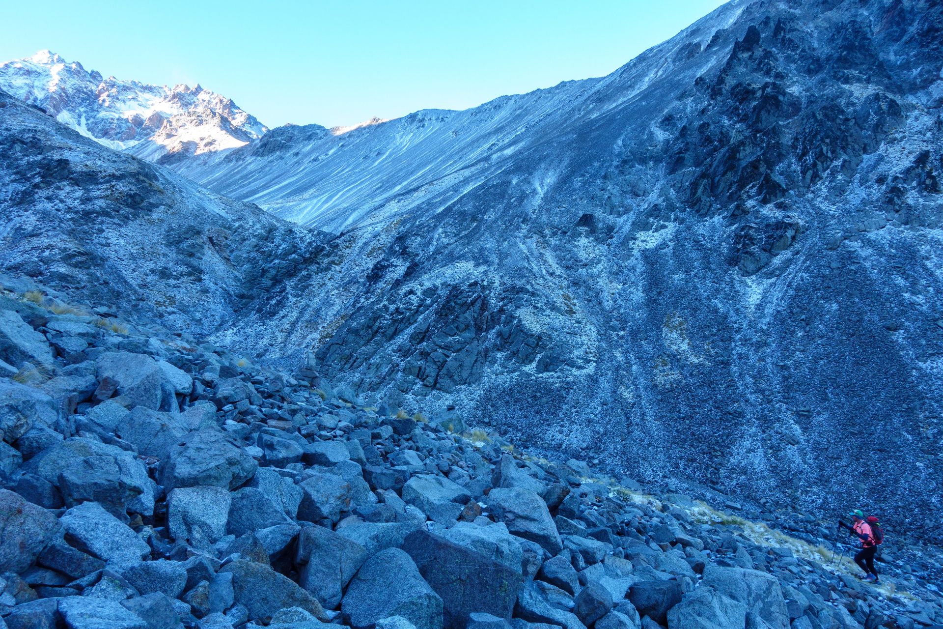
At this point things ramped up, following steep, cairned tracks we scaled and traversed the valley. Apart from some small pockets of cloud far below and the odd breath of cool wind we had stunning conditions.


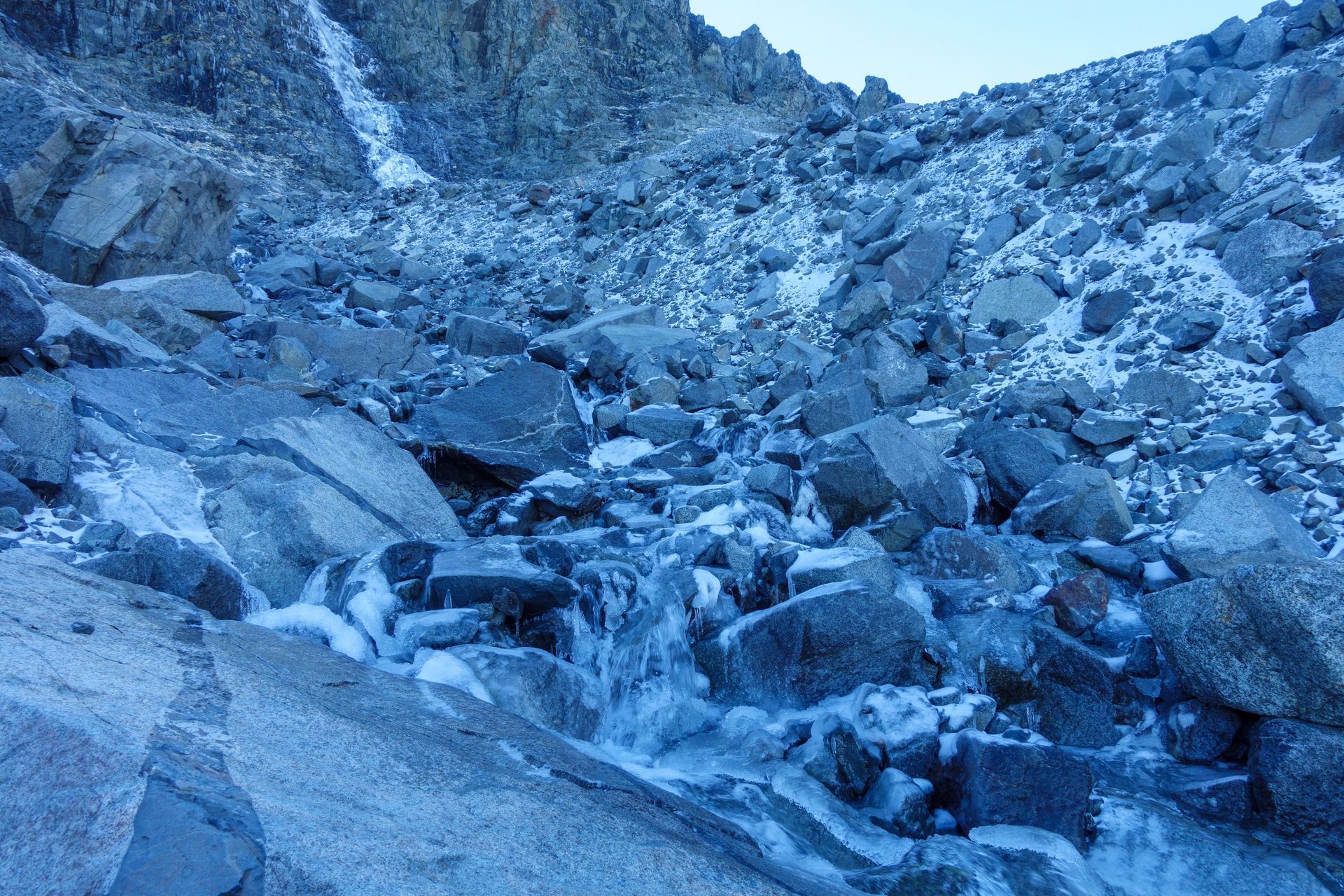
We crossed a number of iced up waterfalls (feet damp) before finally emerging into the sun and throwing on our microsprikes, grabbing our axes and wrapping on our cat 5 glasses. We were in mountain mode.

We picked our way up the saddle, the microspikes were the right call, despite lacking the purchase of rigid crampons the spikes were great at frequently transitioning from rock to snow. That said there were a couple of points where some decent front points would have been reassuring.


As we gains the saddle the sea and Mt Manukau came into view. It was pretty clear that, despite the gusts coming through we were going to be able to summit. Word has it that this saddle is the main turnaround point.

What a sight though, with Mt Alarm and its sharp ridges to the south, clear views out east and the summit of Tappy to the north. As with any climb we kept the pace and pushed on up the ridge. Interestingly this is the first moment where we could actually see the summit.

I’ve read a number of accounts and clearly this is the point where some folk feel the most uncomfortable. With sharp drops on either side, the margin for error is lower.

For me traversing the snowy ridge in microspikes with one axe was the most uncomfortable point of the trip. My soft flask fell out and skittered down the slope, luckily Phil retrieved it (thanks mate!). As I front pointed across I felt both feet lose purchase on the snowy field, grabbing the plugged axe I took a deep breath and jabbed all of the small points in, holding them still to freeze in place. Collecting myself I slowly resumed the traverse.

Personally I find moments like this pretty surreal, disconnecting from any sense of panic and instead jump focusing on the fundamentals. Luckily on the other side of the slope I was back on rock and straight up to the summit (marked by a loose waratah with some sort of a sticker on it).

Finally exposing the north to view the sight was breathtaking and the wind strong, she really didn’t want us sticking around long up here.


After a couple of photos we could see the clouds gathering and gaining, with weather degrading later in the day it was time to make a call about which descent path.
We had two options.
Option 1: Descend via a scree slop from a saddle to the North and connect back with the track we took up from the huts, then 15 kms of river crossings.
Pros
- Known.
- We could sight the down climb.
Cons
- Wet feet
- Doing largely the same thing twice
Option 2: Traverse around the foreboding pinnacle peak then down Tongue Spur, tracking along that stunning ridge line we could see from the huts
Pros
- it made a loop
- How good did that ridge line look?
- Less river crossings
- Quicker according to Phil
- Complex down climbing was largely at the beginning of the decent
- Adventure!
Cons
- Was it reasonably down-climbable?

We made the call to tackle the Spur, Phil’s memory wasn’t entirely accurate, because what followed took a lot longer and had plenty of technical down climbing. But had he had accurate recall I would have probably not done it and, in turn missed out on an honest adventure.
We got down to the Saddle next to Pinnacle and sighted a very soft snowfield on an aspect which had heaps of sun. This took a significant amount of time for us to navigate as we chipped across it, lacking confidence in the purchase of our microspikes. This took a couple of hours, a small self arrest when both feet gave way and a whole heap of swearing.

As we gained the ridge we sighted some of the downclimb, through the haze of the clouds it looked foreboding, heck we weren’t keen to reverse that though.

It was slow going to get down below 2000m, which wasn’t a place we wanted to be with the weather turning later in the day, as we scaled down gendarme which were tricky to assess due to no noticeable path and no sight we held or breath. Whilst the metamorphic rock was smashed up and fascinating it was remarkably crumbly, with most pieces either giving way or wiggly.


Phil and myself have done a lot of rockclimbing over the years, so we had confidence in our ability to pick our way down with all four limbs in motion, this confidence was crucial in us being able to move down with reasonable pace. No doubt up climbing, this route which Phil had done before, would have been more straightforward.

As we slipped and stumbled (largely controlled) down scree slope after scree slope the knees and feet took a hammering (remember we had all our overnight gear on us) and the distance covered was, at times, exasperatingly slow.

Along the ridge we saw many, many goats, deer and Tahr. It felt wildly out of control.

Finally, as the grass kicked in, the terrain solidified and our pace improved, that said we were well out of water and well over the calories that we’d budgeted for, things went pretty quiet. With the Hodder still far below us, the water and the cool water on our hot feet looked mighty tempting.

Finally as the slope to our left became slightly more broad (it was absolutely still steep) we close to descend following deer tracks. As you can see on the map this was reasonably direct but a world pain as we cut through spiked bush after spiked bush.
\n
Chancing the path of “least” resistance we emerged onto the Hodder, with spirits improving we drank deeply. I fired up the track back on my watch and noted we had 7km of river to hop back through and an ETA of after 10 pm.


The river was certainly angrier than on the ascent, the day before. As we tried to muster reasonable pace. The head torches came out and somehow we ended up blasting even faster, thanks also to some newly discovered Em's power bites!

In the distance we sighted a car going over the Hodder bridge, lighting it up, we were nearly there!

After a huge day we emerged back at the car, exhausted, still picking out the prickles but a feeling of the upmost accomplishment. Given the efforts of the day and the time of night it was essential that we were extremely careful on the drive home, keeping Phil wide awake and taking it easy.
Whilst the adventure was an epic we had the right equipment, we should have taken more food and carried more water. I’m grateful that Phil’s recall wasn’t entirely reliable but his experience and way finding was absolutely spot on.