138 Photos
Serpentine Range - Five Passes
Years after an ill fated visit to North Col, five or six cancelled attempts of (roughly) this trip behind me - the wait was long but worth it. A weather window good enough to do the five passes in comfort, with a few little twists.
Hike
Hike
Routeburn Roadend - Routeburn Track - Lake Wilson
The Well Trodden Pass
Day 1: Routeburn Roadend to Harris Saddle, Valley of the Trolls, Lake Wilson
Plenty of my friends complain about the Routeburn Track being too busy, too much of a highway, but it never ceases to be drop dead goregous. We had plenty of time to venture into rougher terrain on this trip, so I was enjoying the feeling of barreling through beech forest on well groomed trail in the cool autumn air. Fast pace, dry skies and fresh snacks boosted optimism high. With conditions like these, we'd storm into Lake Wilson easily and avoid a repeat of my previous miserable camping experiences nearby.
Closing in on Routeburn Falls Hut, the sweat dripping from my cap started to fall alongside bitter cold drizzle and the mood got a little more tense. My visions of optimism for the evening started to waver. We might be camping in properly cold alpine rain, up at 1500m, with night temperatures projected to go below freezing. Sounds like a character building start to a week long trip.
But then we kept walking fast towards Harris Saddle, and the wind blew fast too, and suddenly we were all by ourselves in Great Walk country.


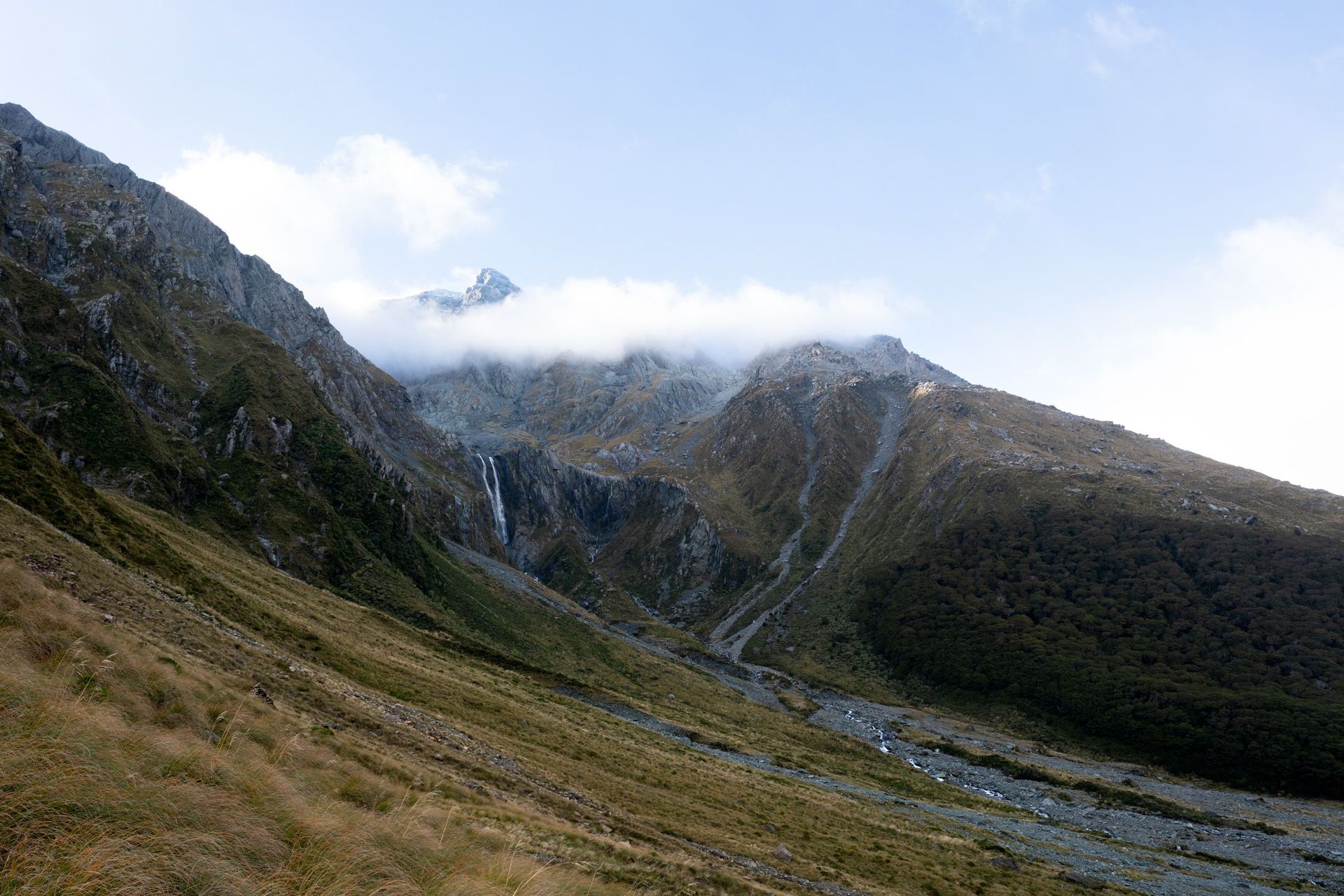
There's a reason thousands of people come here, but we couldn't see any of the crowds now, and soon we'd veer off the well trodden track towards the well trodden trapline. Hiding in plain sight, the route is obvious if you spend any time off trail, or browsing kiwi outdoors blogs, but probably invisible for the average tourist. I'm sure plenty of people look at the waterfall draining Lake Wilson and don't see the route onto the Serpentine Range right next to it.


Well trodden foot trail sidles by crystal clear lake water, then crisp river water, and low scrub gives way to bog and tussock in the Valley of the Trolls

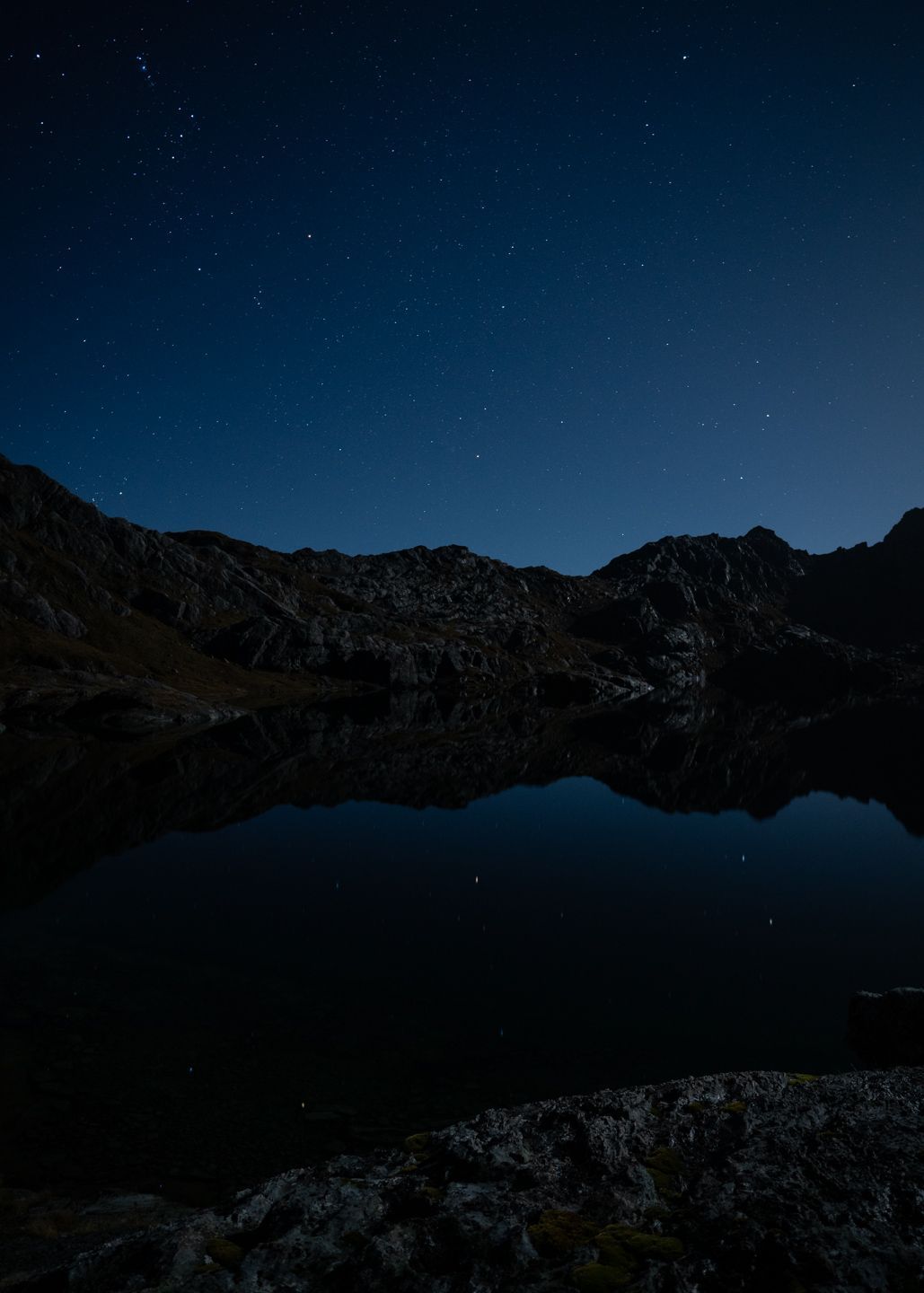
The valley started to grow dark but evening light lingered in the sky, the rustle of grass and group chatter replaced by a grumbling waterfall and our huffing and puffing. We chased the light skyward, gaining height fast in the cold alpine air. We find a campsite on dark, and get as warm as we can while the night sky grows darker and bigger by the minute. The temperature drops fast, and frost starts to form on our tents and the tussock, but I stick it out in the cold until my thumb can't feel the camera buttons properly anymore.
What a start to a journey.


Hike
Lake Wilson - Serpentine Range
The Traverse
Day 2: North from Lake Wilson via the Serpentine Range to pt1555
A crystal clear morning breaks, with freezing alpine air that sharply wakes you up and burns in all the right ways.
I wake hearing George fighting with frozen boots and socks, folding and crunching them. The right time to have a great attitude. We warm up slightly with breakfast and decide to get moving soon to stay warm, and navigate while visibility was good. So begins our day of being spoiled with absurdly picturesque scenery.
I look back one last time at Lake Harris.

Worth the pause, and quickly lots of spots to pause at emerged during our sidle through snowgrass and bluffs east of .


We gain a rocky gut still in shadow, and break out onto the ridge high above the north branch of the Routeburn. The day opens up, colossal blue skies stretching far beyond the glacier-adorned Darrans.


We stopped for lunch soaking up sunlight in the alpine tussock, the Routeburn North Branch still and serene far below. Nothing at all like the bloated, flooded mess the last time I tried to reach its headwaters. I was enjoying the moment.

But soon it was time to go, shoulder packs once again and make our way past two large tarns either side of the ridge toward our Campsite For The Night.


The light fades as we find a campsite on the rocky bluffs. Our first spot to get the decks out and dance a little to keep warm as temperatures plummet.


A squad of kea approaches and keeps us up trying to defend our tents in vain, with some damage sustained - only a day out from a forecasted storm.
Hike
Serpentine Range - Hidden Falls Creek
Calm Before the Storm
Day 3: We push from pt1555 onto North Col and the Five Passes route, making as much progress as possible before a forecast storm
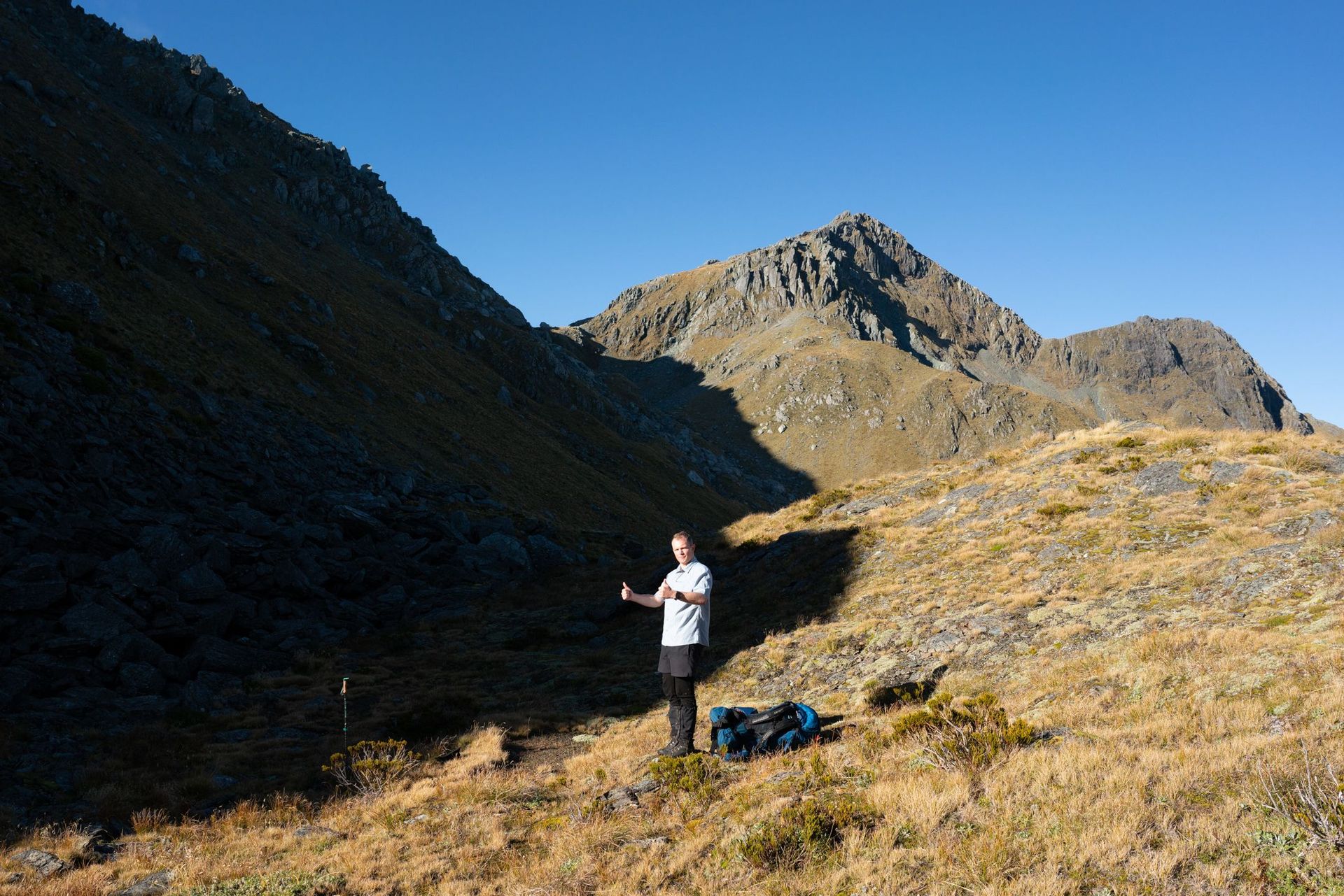
Patrick forlornly packs up his kea-worn tent fly, and I grumble about the new holes in my own. Somehow Alex's tent managed to avoid the onslaught. Tomorrow, 100mm of rain is forecast to fall, and we ideally don't want to be camping on Park Pass for this - time to get moving and make some progress. The great attitudes come out and the vert begins, making our way up through grippy rocky bluffs to gain the main ridge of the Serpentine Range.


Sunlight just starts to brush the ridge and find the odd cairn as we approach North Col, descending a cairned line through bluffs to reach the Col and regain the Main Divide.


Tutoko dazzles brilliant white in the distance while part of the deep green Hollyford remain in shadow. We continue along a scrubby uneven sidle towards Lake Nerine.


We pass a group of four hunters, and pick our way through steep tussock and boulders towards Lake Nerine. Alex stops for a swim, I stop for a snack, and we push on towards the infamous tussock sidle to North Col. Patrick is nervous about the reports he has read online, and reminds me of our recent spicy sidle on snowgrass approaching the Garden of Allah. I optimistically say it can't be that bad, but those memories also make me pretty nervous and I'm glad I have my ice axe with me in case...

We find cairns marking the sidle, and sweet relief, the ground trail is excellent. If you were coming up this way from Park Pass and strayed too low, it would be possible to lose the route, but from above its clear as day and quite solid and secure from all the foot traffic. In poor conditions it could clearly be deeply unpleasant though.

Alex and James reminisce on the last time they were here, deep in day 3 of Godzone and struggling hard. This is all new ground for me though, and quite pleasant despite the wind. We've made good time, and Alex navigates us down a marked trail down into Hidden Falls Creek. The track markers disappear but the bush trail is well worn and easy to follow. We're tired now, and the weather is starting to turn, so we find the first decent campsite in the bush. A gravelly clearing that looks fairly fast draining but also suspiciously like a floodplain. We judge that it probably would become one in a very big rain event, but a dry few weeks and low rivers and 'only' 100mm of rain forecast left us ok with this campsite selection.
We enjoy the last of the dry weather with a round of secret santa and a fire. George is stoked with the camp chair I've been carrying for 3 days and Patrick is floored by the easel and watercolours Alex has been hiding.
Tent Day
Tent Day
Day 4: 100mm of rain falls, and we go nowhere at all.

The rain arrives, and we stay tentbound for most of the day. I drift in and out of sleep, warm and dry in my little yellow world, trying not to drink too much so I don't have to pee outside the tent, listening to albums I haven't heard for years. In the evening the rain clears, and we survey the campsite. The river has come significantly up but we are still well clear of the water. Some areas of the bush have flooded a little, and the rainforest recharges.


Hike
Hidden Falls Creek - Fohn Saddle
One Day, Three Passes
Day 5: We pass Cow Saddle, ascend to Fiery Col, sidle and finally regain the Main Divide at Fohn Saddle
The skies are dry and the rivers significantly lower again, but the bush and tussock are still wet and it's a slow start as we remember how to walk again. But we've rested well, and our packs are lighter, so we make good progress picking our way through easy animal trail to Cow Saddle.

Fast moving cloud hangs ominously over Fiery Col, and I start to wonder how much of an epic we're in for today.


But as we climb the cloud climbs too, and the wind drops. We start walking on starkly different rock, red and grippy and not moving anywhere fast. The route is unmarked but fairly obvious, so long as you can identify the col. The odd cairn inspires confidence. The cloud continues to rise. My optimism increases. Patrick stops to use his newly-gifted easel.


+1
Almost a thousand vert done, but we have plenty left to do. We descend almost 400m fast, and then regain the Olivine Ledge below Fohn Saddle.


A sidle and a final 300m vert goes faster than I expect, and suddenly we are passing through gorgeous tarns on a still afternoon.

We find a stunning campsite on the saddle, and the decks come out again as we soak in the views.


And then golden hour starts, and life gets more and more orange and jaw-dropping.


+2
Night falls and the temperature drops as low as it has been all trip, a forecast -5C and my camera batteries and extremities are certainly feeling it. I take one or two final pictures before retreating to the relative warmth of my tent.

Hike
Fohn Saddle - Beans Burn
Give it the Beans
Day 6: We descend Fohn Saddle to the Beans Burn, and camp in the lower grassy flats
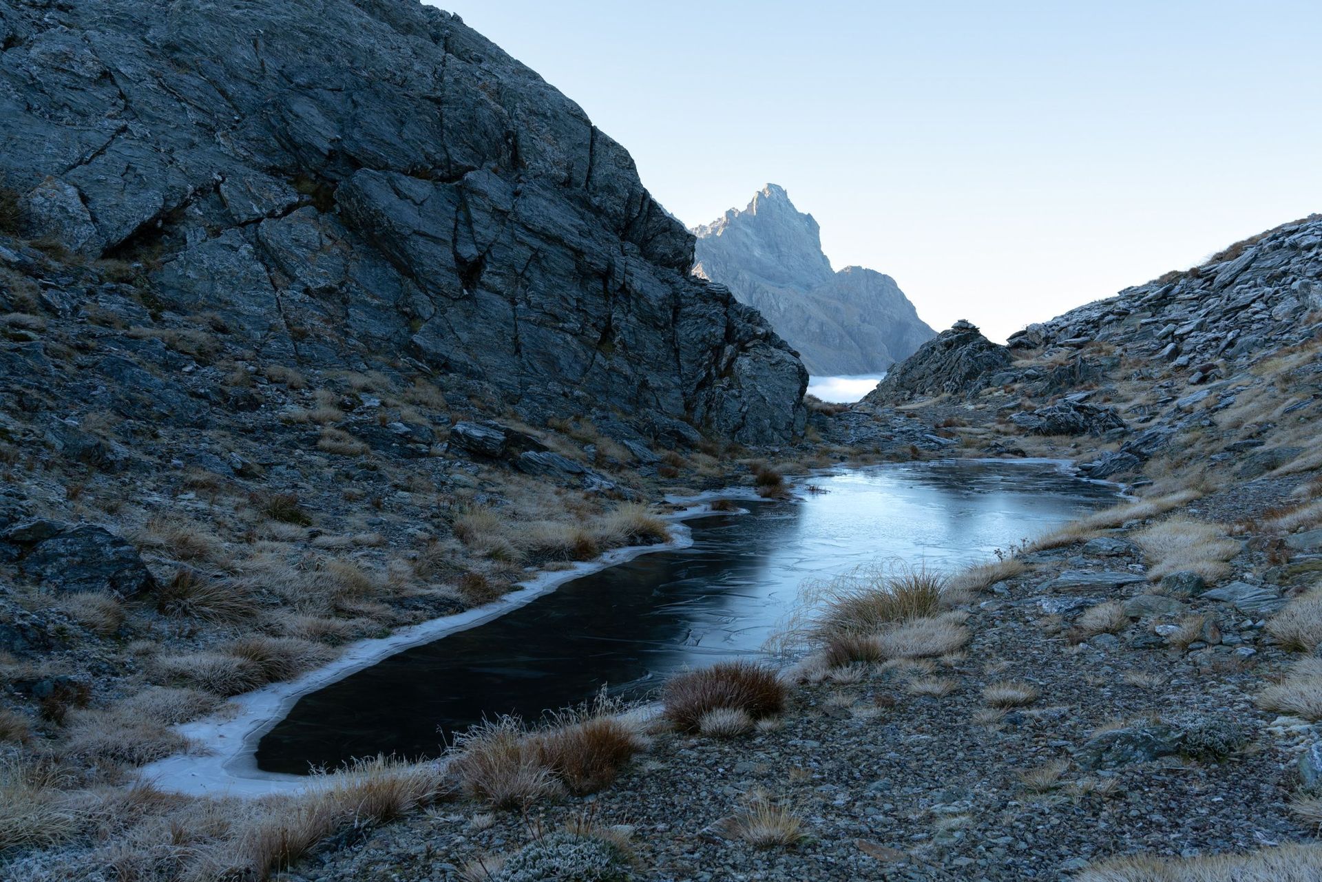
We wake to a stunning, icy morning. It's crystal clear over the Olivine River

But we turn and the Beans Burn is filled to the brim with cloud. We feel on top of the world, above the inversion layer and the river far below.


As we make our descent, we're reasonably confident we pick the right spur, but we descend quickly into the cloud. I get a little nervous about how the routefinding will be...


But the cloud burns off, and spirits run high as we find our way to the Beans Burn rock bivouac.


We pass hunters filming a show, and they tell us to keep an eye out for the trapping line running up the valley. We pick the markings and it remains easy to follow in otherwise rough country.

We make camp in the lower Beans Burn and settle in for one final cold night.
Hike
Activity on February 12, 2024
Down to the Dart
Day 7: We walk to the Routeburn Road via the Dart River and Lake Sylvan track
We wake to our final, frost covered morning. It's beautiful and the ground is crispy in all the right ways, but I am looking forward to being a bit warmer in a real bed tonight.

We continue along the track and cruise through majestic beech forest down to the Dart River

Earnslaw stands tall behind the blinding morning sun, and we make it out onto the sandy banks of the Dart River.

We boost back along easy grassy flats, and then cross the Rockburn, and hit the Lake Sylvan track. The track gets decent, then good, then very good, and we find ourselves at the Lake Sylvan lookout on a calm glorious morning. Patrick gets out the easel one last time.


A week that couldn't have gone much better, enough rough terrain and weather to be an adventure, but enough kind terrain and weather to be unforgettably gorgeous.
