View 27 Photos
2024-11-16T00:00:00.000ZWestland District, West Coast, New Zealand / Aotearoa

Top Olderog Biv

A weekend visit to a remote but freshly rennovated biv.

Other
Download GPX
A honest 8ish hour walk each way to visit a classic remote West Coast spot. Details on the recent biv rennovation by volunteers and the Backcountry Trust can be found here.
Other
Download GPX

Return recording from Top Olderog Biv

Image not captioned
Image not captioned
Image not captioned
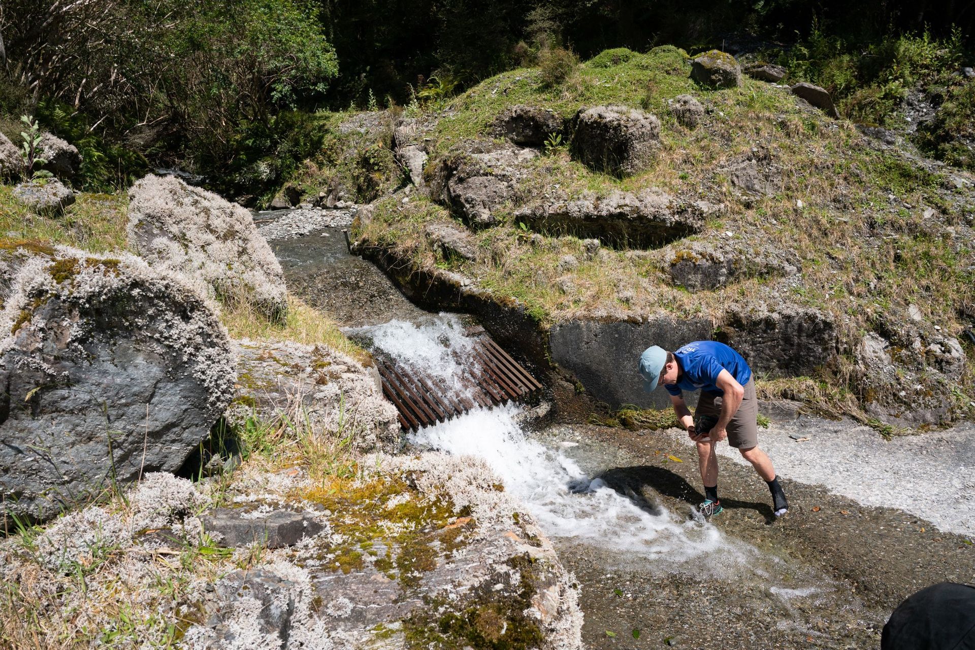
After a morning walking Ben's rifle around the Big Wainihinihi, we took the signposted Mt Kerr track from the bend in the hydro access road. The track to the scrubline was quite pleasant as far as Westland ascents go, sustained but not too steep. Things started heating up once we left the bushline, starting to sweat in high gear while avoiding the intermittent spaniard.
Image not captioned
Image not captioned
The tops near pt1281 were all straightforward, if a little tiring, to traverse. We sidled into a rocky gulley to join the ridge with Mt Kerr a little south of pt1438.
Image not captioned
Image not captioned
Image not captioned
The first kilometer or so of ridge traverse is a goregous alpine meadow and some of the fastest movement we'd had in a while, high above the rugged gorged creeks in the rainforest below.
Image not captioned
Image not captioned
The ridge started to get a little narrower and more exposed. There were always good things to hold onto, but I don't think I'd like the exposure at all in slippery conditions.
Image not captioned
Traversing the ridge to Top Olderog bivouac is usually along the ridge crest. There are only a couple of short sidles that are easier alternatives to the ridge. Early in the traverse, there is a small rock step on the ridge that could be a bit awkward with a heavy pack. Where the ridge suddenly becomes rocky for a section, with rocky gullies below, a short straightforward rocky sidle on the Big Wainihinihi River side of the ridge is the easiest route. Past pt1430, a steep rocky section of the ridge was a bit exposed for my liking, and I took a short sidle to a steep snowgrass gully that would be unpleasant to descend in slippery conditions.
Image not captioned
Image not captioned
Image not captioned
Image not captioned
Ben and Chris beelined it for the biv down steep, bluffy terrain, but I decided to take the lazier (recommended) route a little further along the ridge, until a clear spur leads down past a marker pole toward the biv. Goregous evening light was showing off all of the crazy West Coast geography.
Image not captioned


Image not captioned
Image not captioned
Image not captioned
After an honest day's walk, we got to enjoy an amazing sunset in a very remote spot.
Image not captioned


Image not captioned
Image not captioned


Image not captioned
The next day, we just completed the same route in reverse. Parts of the ridge were more difficult in reverse, and other parts were easier.

Route Notes

If accessing the Big Wainihinihi, This Creek Is Navigable To The Hydro Road
Sidle Here on the Big Wainihinihi side of the ridge where the ridge (and gulleys below) become rocky
There is a Marker Pole showing the easiest spur down to the biv. The biv is visible from the ridge before this point - there are steep gulleys that are challenging to travel through if beelining to the biv from the first point you can see it.
Visit Remotehuts for the most up to date track information. When interpreting track times and difficulty, consider that the descriptions and times there are generally written for people who are experienced in this specific type of terrain, and for good conditions. Without these prerequisites, you could be adding 50% to the track time. It's an honest day's walk, with a (solid) ridge that feels airy in places and has exposure that would be quite unpleasant in poor conditions.
This video shows some of the ridge travel well, and this video also shows some of the sections well.
I have trimmed the GPX recording to the Big Wainihinihi hydro road. We were able to negotiate access across private land to approach the track via Big Wainihinihi river. It would be possible to follow the public land (Queen's Chain?) that narrowly surround the riverbed from the bridge on SH73, provided river levels were suitable. It's not cool to cross private land without seeking permission.
The biv's door was stuck and needed a serious amount of force and a walking pole to open. We filed down the edge of the door, to a snug fit. There is a file in the biv.